Property Survey, Construction Staking, Laser Scanning & More
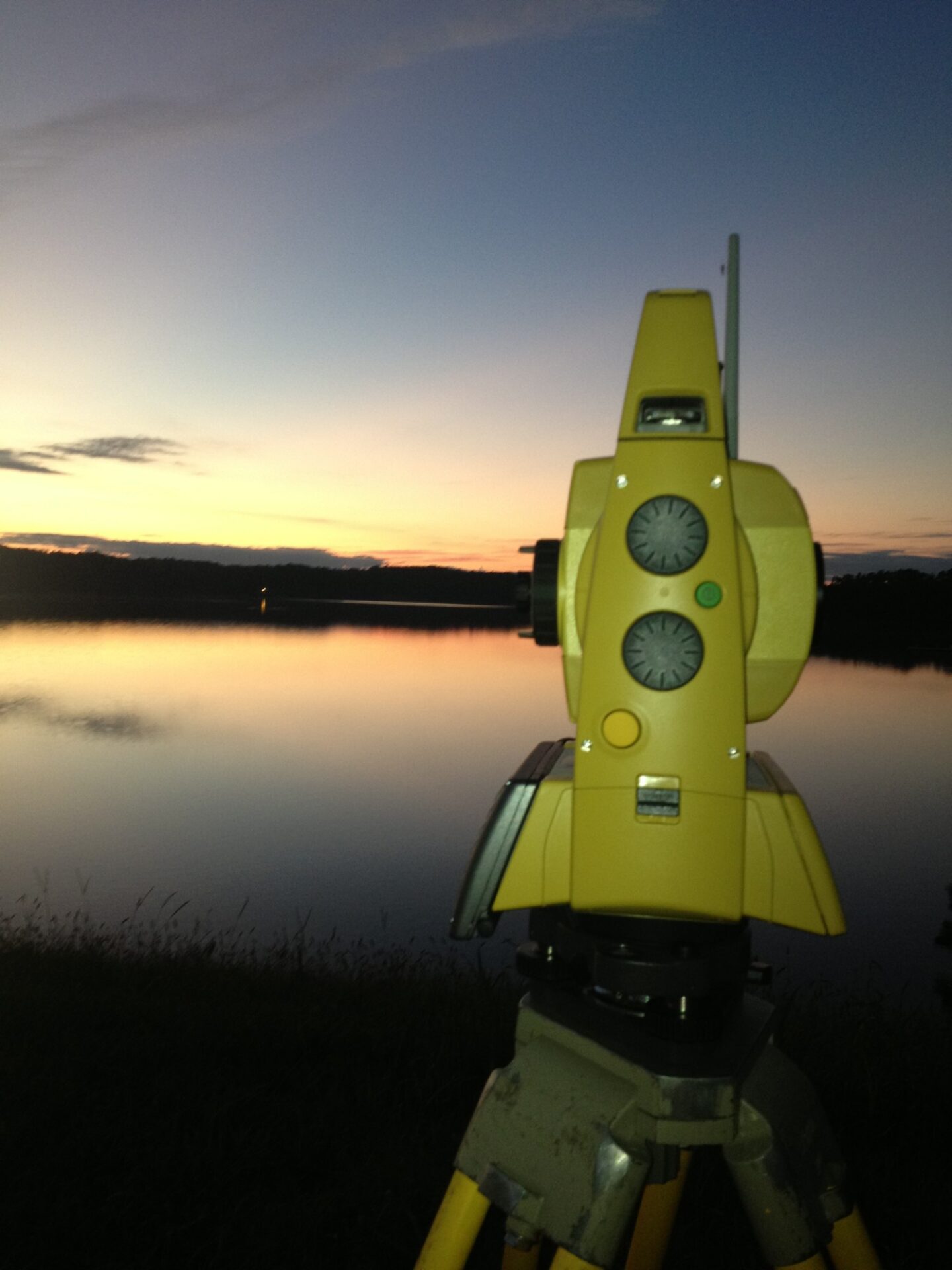
Cook Surveying and Mapping is the premier land surveyor in Eupora, Mississippi, specializing in boundary surveys, construction staking, 3D-laser scanning, commercial surveys, individual boundary surveys, construction surveys, and more.
Customized Boundary Surveys
Whether it is several hundred-acre farms or sub-acre town lots, we can handle all of your boundary issues. Each of our surveys is performed abiding by the Mississippi Standards of Practice.


Construction Staking
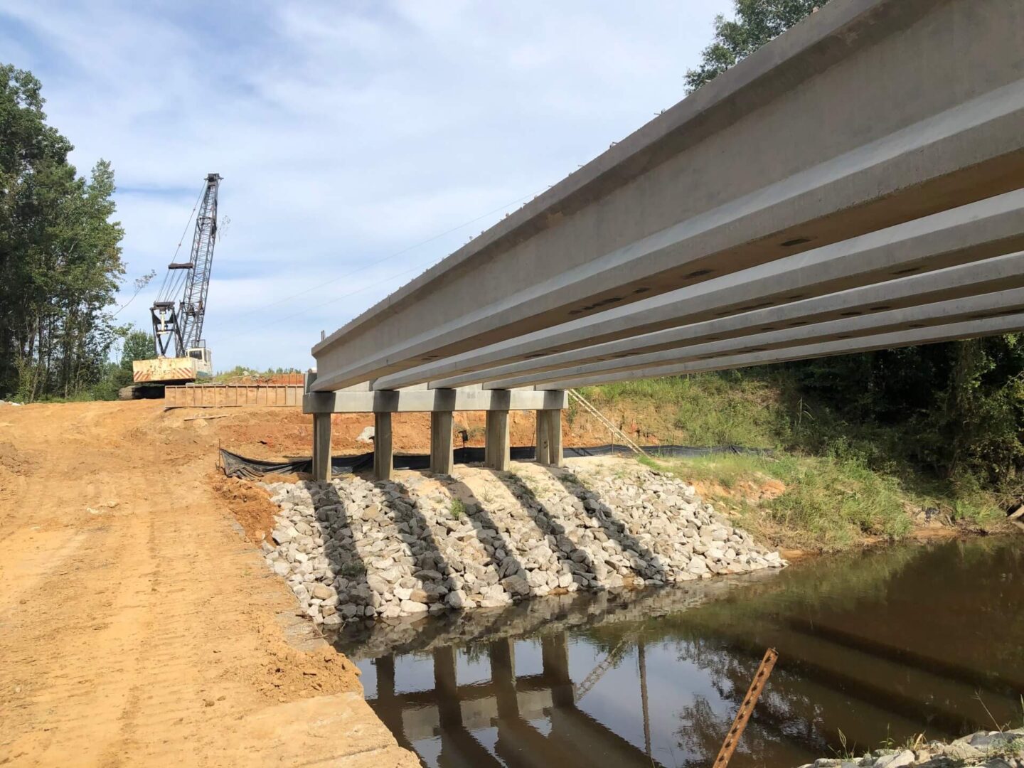
We possess expertise in performing various construction staking projects, including topographic surveys, 3D-model generation, cut/fill analysis, machine guidance applications, and many more.
3D-Laser Scanning
Our 3D-laser scanning is utilized chiefly for large-scale industrial scanning processes. Ponds, stockpiles, and buildings are scanned effectively by this model and later used for 3D-model generation.
Commercial Survey at its Best
We provide solutions for your different commercial survey projects. The ALTA surveys, large-scale inventory, laydown yard control, FEMA elevation certificates, utility surveys, subdivision layouts, property acquisition, timber boundaries, sediment pond/hydrological surveys are some of the standouts that our business offers.
We Perform Individual Boundary Surveys
We offer surveys primarily for the general public, heir property division, real estate closings, property dispute resolution, condominium surveys, and FEMA elevation certificates. Each of our services is crafted with the customer’s interests in mind.
Landscaping Construction Surveys
Our landscaping construction surveys include construction staking, topographic mapping with drones, topographic mapping with conventional field crews, as-built surveys, and utility line location.
We understand that a fast turnaround time on surveys is critical for you to meet your deadlines, and therefore Cook Surveying and Mapping assures this result.
